Sumbi Airport
Location: Sumbi, Kongo Central
Status: Redeveloped
ICAO Code: None
IATA Code: None
Coordinates: -4.959525°, 13.339390°
Little information is available about Sumbi village itself. The settlement is also occasionally referred to as “Nsumbi” and is located at the intersection of National Road 12 and Provincial Road 109.
Despite its small size, the region surrounding Sumbi has been referenced in archaeological and geological studies. Geologically, the area is bauxitic, with aluminum and even gold reserves suspected in the region. In the 1950s, archaeological excavations were conducted as part of a regional pottery study, which uncovered ceramics from the Kay Ladio Group.
In more recent history, Sumbi was one of the locations involved in a widely criticized police and military operation in the 2000s against Bundu Dia Kongo (BDK), a political-religious movement.
However, despite these historical and geological connections, modern satellite imagery suggests that Sumbi remains a modest village with no significant infrastructure. There are no large buildings or visible colonial-era structures, and the settlement appears to have limited development.
Historical Background
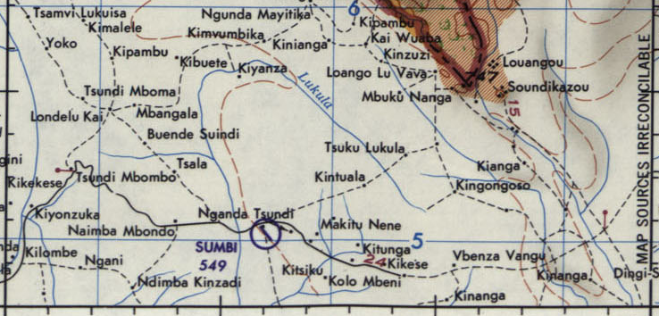
The historical mapping coverage of Sumbi is limited, with the earliest available map being the 1966 Joint Operations Graphics, published by the U.S. Defense Mapping Agency. This map clearly depicts Sumbi Airport, locating it just south of National Road 12 and showing a runway alignment roughly parallel to Provincial Road 109.
The 2015 MAF Airports Directory lists CEAZ as the airport’s operator. CEAZ likely stands for Communauté Évangélique de l’Alliance au Zaïre, indicating that the airfield once served this religious community. However, since Zaire was renamed Congo in 1997, CEAZ itself has since been rebranded as CEAC. The continued reference to the outdated CEAZ name suggests that the airport had already been abandoned long before 2015 and was no longer in use.
By 1996, the U.S. Tactical Pilotage Chart continued to depict Sumbi Airport, though its actual existence at that time is highly questionable.
Current Status (as of 2025)
Despite a detailed analysis of satellite imagery, no trace of Sumbi Airport can be identified. Some patterns are visible at its presumed location, but they cannot be definitively confirmed as remnants of the airfield.
This strongly suggests that Sumbi Airport was abandoned long ago. The 1966 aeronautical chart’s indicated location is now completely reclaimed by savannah vegetation, with only a few scattered houses at the outskirts of Sumbi village.
With no visible remains of the airfield, Sumbi Airport is classified as redeveloped.