Cipelo Airport / Manzonzi Airport
Location: Between Cipelo and Lufu, Kongo Central
Status: Redeveloped
ICAO Code: None
IATA Code: None
Coordinates: -5.679508°, 13.949257°
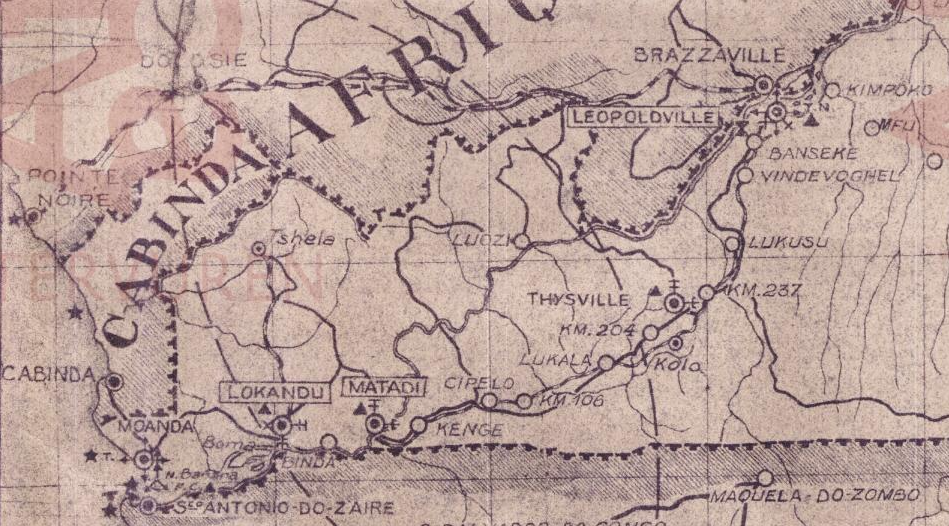
Cipelo, sometimes spelled Sipelo, is a small locality situated along the Matadi-Kinshasa railway. A 1953 colonial map by the Institut Géographique du Congo Belge indicates that Cipelo had a railway station, suggesting that the settlement once held some level of importance or activity.
However, recent satellite imagery shows no remaining trace of the railway station, and Cipelo itself appears to be little more than a hamlet or farm, consisting of fewer than ten very small houses. Whatever activity once took place at Cipelo appears to have long disappeared.
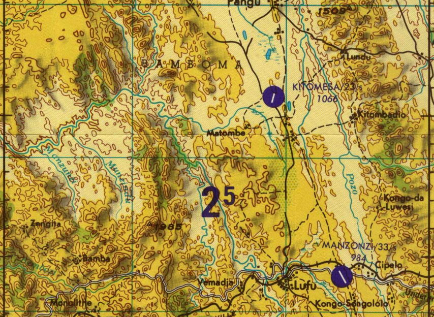
Located less than four kilometers west of the former airfield is the town of Lufu, which is also situated along the railway line and still has an active railway station. However, the airfield was never associated with Lufu, and no records link it to the town.
Historical Background
The 1947 Carte des Renseignements Aéronautiques first marks an airfield at this location, naming it Cipelo Airport.
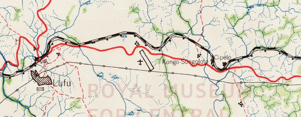
By 1953, a colonial map by the Institut Géographique du Congo Belge confirms the airfield’s precise location and runway alignment, though it does not assign a name to the airfield.
In 1967, the Joint Operations Graphics, published by the U.S. Defense Mapping Agency, still depicted the airfield but labeled it as Manzonzi Airport. The reason for this apparent name change is entirely unclear — there is no known settlement called Manzonzi in the vicinity, and no other sources use this name. It remains unknown if the airfield was officially renamed or if this was an error introduced by U.S. mapping authorities.
Both the UN DR Congo Aerodromes and Helipads Directory and the MAF Airports Directory neither include Cipelo nor Manzonzi Airport.
The runway remained visible on low-resolution 1985 satellite imagery, but by 1996, the U.S. Tactical Pilotage Chart no longer depicted the airfield, indicating that it had likely ceased operations by that time.
Current Status (as of 2025)
Recent high-resolution satellite imagery reveals that the former runway has been repurposed as a road, following the exact same alignment as the original airstrip.
Beyond this, no other visible traces of the airfield remain, confirming that Cipelo / Manzonzi Airport has been completely redeveloped.